
geospatial

USDA's Disaster Mapping Team Provides Data in the Most Critical Times

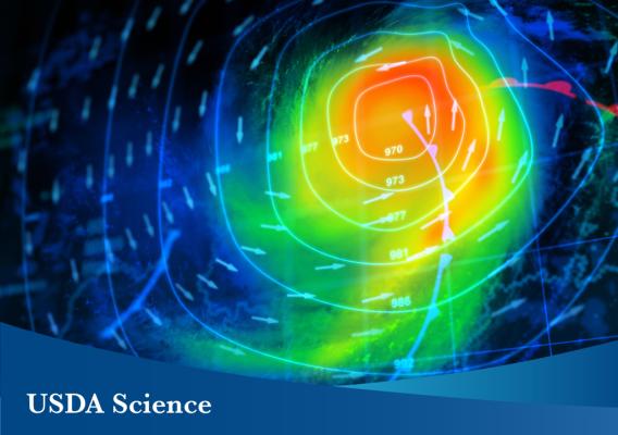
As we observe September as National Preparedness Month, it is important to remember that being prepared is the most important thing you can do to assist in dealing with any disaster or emergency. Unfortunately, no amount of preparation will stop a natural disaster or emergency from occurring, but how you react to them can be just as critical. This is why the U.S. Department of Agriculture’s National Agricultural Statistics Service (NASS) created a Disaster Mapping Team.

USDA Unveils Cutting-Edge Map That Shows Planted U.S. Commodities

Imagine this. You are a new farmer who bought a plot of land in your hometown. You’re making important decisions for your operation like what to plant and where. If only you had a tool to identify historical information for what’s been grown on your land and in your area that would allow you to make better informed decisions to set up your new business for success.