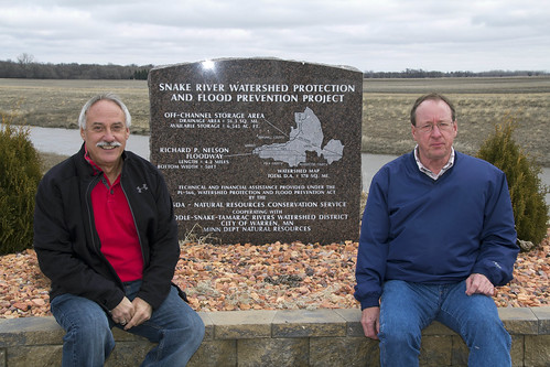
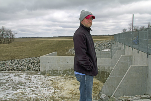
For years, the community of Warren, Minn., has experienced regular flooding problems from the Snake River. The events have endangered residents, their property and the surrounding farmland.
Working with the city and the Middle-Snake-Tamarac Rivers Watershed District, USDA’s Natural Resources Conservation Service has designed a flood control system for Warren with an off-river channel impoundment and a floodway that is helping to mitigate these inundations.
The Richard P. Nelson Floodway, which surrounds Warren on the east and south sides, is a man-made four-mile channel that directs excess water around the town and back to the Snake River. It’s about 16 feet deep, and an average of 160 feet wide at the top of its edges.
The 550-acre impoundment, located northeast of town, can hold the water from a 100-year flood event -- a flood of an intensity projected to occur once every 100 years. To protect downstream communities, roads and farms, the water can be stored until the flood subsides and then released slowly into the river.
Watershed districts in Minnesota are intergovernmental organizations created to manage drainage ditches and flood control. Like many watershed district projects, the Warren flood control project has had both an environmental and economic impact.

“It used to be an eerie feeling when you would be in Warren during a flood,” says resident Doug Safar. Major floods occurring about every seven years drove away many residents, he explained. About 20 percent of the population was lost between 1980 and 2000.
But after the flood control measures were constructed, the community of Warren started to change almost immediately. For the first time in several years, there was an increase in the enrollment in the Warren school system. A manufacturing company recently built a new facility and is adding new staff, and this fall, a new hospital and assisted living facility will open.
Follow NRCS on Twitter.
Check out other conservation-related stories on the USDA blog.


