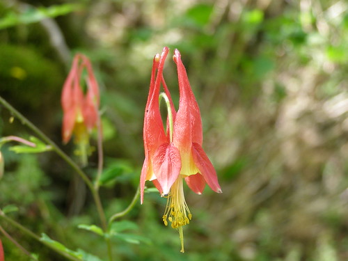
As spring begins across the nation, fields are turning green – and pastel pink, flaming scarlet, electric orange, brilliant yellow, deep violet and florescent blue. Wildflowers are abloom!
This year, the Forest Service has released an updated wildflower map with 317 viewing areas to choose from on America’s national forests and grasslands. In addition to locations, information is also provided on the best time for peak viewing.

“Every year we continue to add new wildflower viewing areas,” said Larry Stritch, the U.S. Forest Service National Botanist. “This year, we have updated the map so visitors can search by geographical region, state or national forest or grassland. This makes it easier to plan day trips or extended journeys to enjoy the colorful displays of Mother Nature’s catalog of wildflowers.”
Due to an extremely mild winter, an early spring is appearing in many areas and wildflower season has begun. The pageantry begins with spring ephemerals such as bloodroot, Virginia bluebells, and squirrel corn. Spring ephemerals are woodland wildflowers which appear in early spring, flower, set seed, and then die back to their underground parts before the trees unfurl their leaves.
Other spring wildflowers seen in early spring include wild gingers, hepaticas, and trilliums. In late summer and early fall, the last wildflowers of the year begin to flower including asters, sunflowers, goldenrods, cardinal flower and gentians.

The updated map includes a narrative for each viewing area which describes the area’s botanical habitat and wildflowers types that can be found by season, as well as recommendations for the best time of year to visit. Safety advisories such as animal habitats, clothing recommendations, insect or plant cautions, and traffic and parking tips are provided. Directions to the site, the closest town and contacts for more information are also offered.
The map is part of the agency’s Celebrating Wildflowers web site which includes more than 10,000 plant images and over 1,500 pages of information about the aesthetic, recreational, biological, medicinal, and economic values of native plants as well how to conserve native plant habitats.


