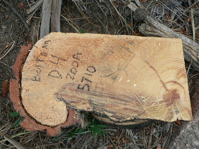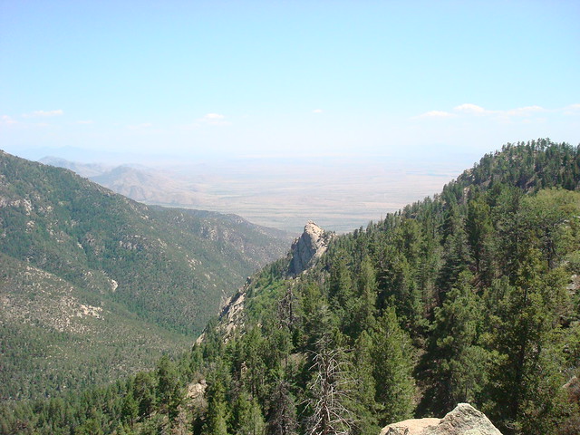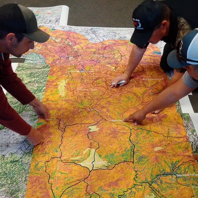
Why are Rocky Mountain Research Station scientists sampling tree rings in the Pinaleño Mountains of southeast Arizona? Because tree ring samples reveal the history of fire. When fire scorches a tree, the tree floods its wound with sap, which protects the wound from wood rot decay for hundreds of years, as long as fires keep burning at a low intensity.
“We can recreate in time and space how the ecosystem of the mountain range changed over hundreds of years,” said Ecologist Christopher “Kit” O’Connor. This research shows the ebb and flow of species over time, for example, where a spruce-fir forest marched out of its high-elevation area down the mountain, out-competing every other seedling until a fire occurred to stop it.
This ambitious USDA Forest Service field study on tree rings (PDF, 1.5 MB) will help land managers restore ecosystems and help fire fighters predict if the next burn will behave as expected or not. “We can cut into a stump and see a record of how fire burned at that particular location centuries earlier,” said O’Connor.
Taking fire out of the system takes resilience out of the system. In Western forests, frequent surface fires helped trees resist drought, insect outbreaks, and extreme fire and weather conditions by removing excess vegetation.
Conversely, fire exclusion in the 20th century allowed many forests to become overstocked and resulted in abrupt shifts in species composition. For example, relatively sparse ponderosa pine – one of the most fire-resistant conifers in the West – and Douglas-fir forests transformed into dense forests predominated by white fir and Douglas-fir with few ponderosa pine. Today, this altered landscape exceeds the site’s ability to sustain a healthy forest and is far more susceptible to high-intensity fires and insect outbreaks. Current climate projections for a warmer, drier future in this region only add to the danger.

The scientists found that patterns of fire frequency, size, and severity were stable for at least several hundred years prior to 1880. After that date, livestock grazing and a policy of fire suppression led to a reduction in fire spread, but not ignition. An increase in the fuel continuity in formerly open, dry mixed-conifer forests was spurred by the invasions of shade-tolerant white fir and Engelmann spruce, leaving the landscape more prone to crown fires capable of spreading into the high-elevation forests.
O’Connor called the mid-elevation zone on the mountain range “the Goldilocks zone,” where the landscape under natural conditions sees frequent fires. “The top of the mountain where Engelmann spruce and corkbark fir hang out is the coldest and wettest zone,” he said. “The lower elevation below the Goldilocks zone is hot and dry, and there is typically not enough fuel for a wildland fire to spread.”
As the Goldilocks zone gets denser and completely converts to a new type of forest, fires occur less frequently, but are far more intense. Species like the Engelmann spruce and white fir, which cannot survive fire very well, take over the range because fire-adapted species like Ponderosa pine cannot compete.
Results from this work led the scientists to develop new analytical tools that use historical fire and landscape conditions to inform wildland firefighters about how fire is likely to behave on any given landscape.
The information also gives forest planners a playbook on how to make ecosystems more resilient and where to focus limited resources for fuel treatments to defuse the fire danger in the most potentially dangerous landscapes.
“One of the most effective tools a manager has for forest restoration and reduction of future fire risk is a wildfire that burns in the right place and under the right conditions,” said O’Connor.


