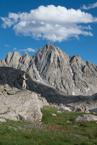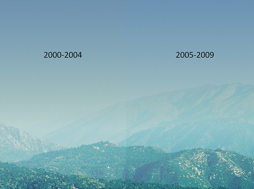
Visitors to wilderness areas treasure the stunning vistas and pristine scenery. Now there is good news for the millions of people who recreate in these special places: less haze exists in most wilderness areas allowing them to see farther and enjoy more color and texture in the scenery.
“We have even better news,” says Bret Anderson, the Forest Service’s regional haze coordinator. “Further reductions in air pollution are expected to bring even clearer air in coming years.”
All this good news is showcased in a recent series of USDA Forest Service reports showing visibility has improved at 60 of the 86 Class I wilderness areas, which are defined as those area of greater than 6,000 acres. The trends considered five-year averages of the haziest days for each year from 2000 through 2009.
Visibility in Class I areas is protected by sections of the Clean Air Act, with a congressionally mandated long-term goal to reduce human-caused haze. The 1999 Regional Haze Rule is the U.S. Environmental Protection Agency’s tool to meet this goal.
The rule calls for state and federal agencies to work together to improve visibility in 156 national parks and wilderness areas, including Mount Baldy, John Muir and Hells Canyon wilderness areas managed by the Forest Service. The states, federal land management agencies and other interested parties develop and implement air quality protection plans to reduce the pollution that causes visibility impairment.
“The greatest improvements in visibility were measured across the Appalachian Region, in Southern California and in the Pacific Northwest,” said Anderson. “These trends generally reflect broad regional changes in haze, not just improvements for specific wildernesses. In some cases improvement or degradation of visibility can be attributed to natural variations in fire or dust, however, in many cases the improvement resulted directly from reductions in air pollution emitted from electrical generation involving coal, industry and vehicles.”
Data presented in the visibility reports are gathered as a part of the Interagency Monitoring of Protected Visual Environments, or IMPROVE program, a cooperative effort of the Forest Service, states, Tribes, the EPA, the U.S. Fish and Wildlife Service and the National Park Service.
The program tracks changes in visibility and determines causes of visibility impairment in national parks, wildlife refuges and wilderness areas.
Visit the Federal Land Manager Environmental Database for more information including special studies, reports, tools, photos, Web cams and the latest updates. Monitor the visibility yourself through our near real-time Web cams around the country. For more information about what the Forest Service does to promote air quality, visit the Air Resource Management Web site.
